Read a Road Map Week
Read a Road Map Week
By Hunter Houtzer
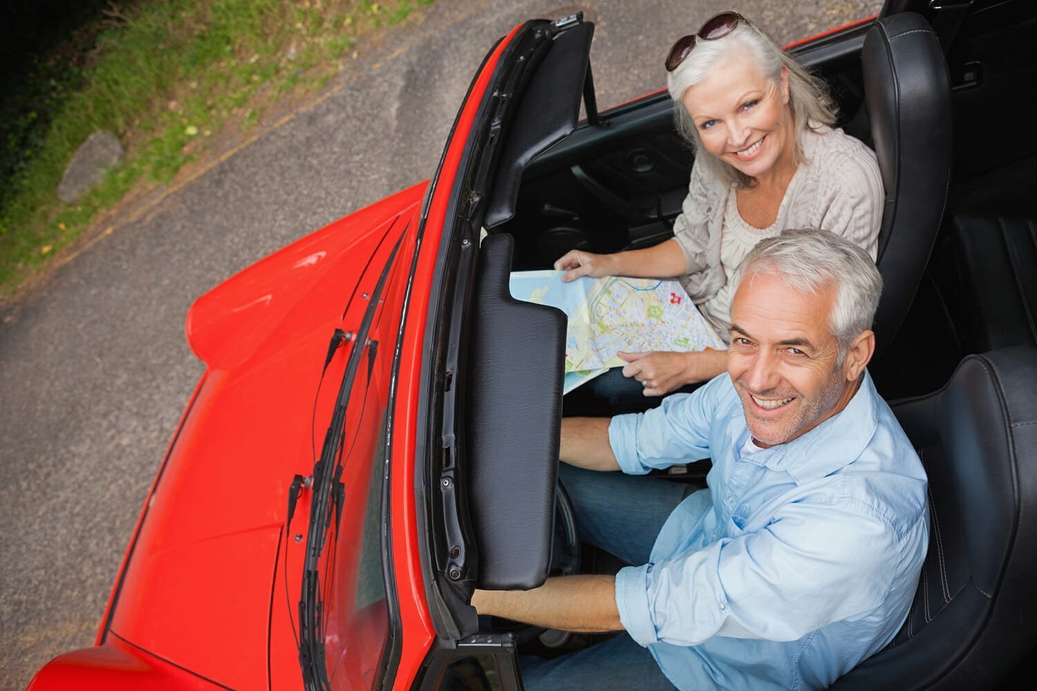
Read a Road Map Week is fast approaching, and like with so many other things, I must remember to thank my parents for forcing me to become  familiar with large, beautiful, utilitarian road maps. It began because I was the only child in my family who didn’t get carsick while reading. At first this was a good thing: I could do homework, read novels, and figure out where we were eating. Then my parents decided it was time for me to learn to be truly useful on our road trips. I was young and the maps were tricky to read in the beginning; there was a lot of protesting from the backseat.
Reading maps has since become one of my best skills: whenever my friends and I are lost on the road due to a lost cell signal or a GPS malfunction, I’m the one that leads us to victory (and our destination). I can also locate memorable sites along the way: a farmer’s stand with fresh peach ice cream, a 10-foot tall bull statue, and an abandoned mini-golf park like something from a storybook.
The first week of April is designated Road Map Appreciation Week, and National Read a Road Map Day is April 5th. That means all signs point toward a new adventure during the liveliest time of the year, which is what I keep telling my friends regarding the upcoming school break. Spring is just perfect for packing a quick bag and setting out while the weather is warming up and green is returning to the grass and trees around us. The longer daylight makes the old habit of reading road maps even easier to revive in April, when everyone is eager to get outside and take a trip. So while the GPS is handy—my family calls ours Tom—it lacks the tangible pleasure that comes from unfurling a map and tracing out what to do next with your index finger. For at least the first week of April, the GPS can stay in the glove box.
 Aside from the practical nature of a physical map—paper never loses signal or freezes for no reason—maps open the gateway for exploration. While it’s easy to choose whatever route our technology deems fastest, a map lets us take back the ability to choose our route. It’s a chance to escape from the monotony of interstates, where the only thing to look forward to is the next rest area.
For instance, the A1A along the southeast coast is riddled with interesting ins and outs—but the GPS would never take you that route (too many red lights, but so much character). The A1A is famous to the locals for its lush tropical views and proliferation of beach culture, as it runs only five miles from the Atlantic Ocean. Fresh seafood restaurants, tiny boutiques, and old-timey surf shops all line the road the runs mostly under the Florida sun. The A1A is considered a Scenic and Historic Coastal Byway, as well as a National Scenic Byway. If you restrict your travel to the interstates, you’ll miss the laidback culture and unique attractions along the A1A.
Now’s the time to hit the road in shorts, sandals, and a road map! And if you get the chance, teach the skill of reading road maps to someone else, so that they too, can experience the joy of traveling without using a GPS!
Request More Information from Communities on the Road!
North Carolina and Virginia Communities are on or near the Blue Ridge Parkway
Receive your complimentary Relocation guide and magazine

